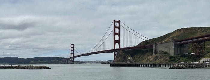
![]() 1.1 mile loop hike is easy. Trailhead elevation is about 75 feet, and the hike's high point is under 300 feet. Mostly exposed/Dirt fire roads and trails/Under 1 hour. From http://www.bahiker.com/
1.1 mile loop hike is easy. Trailhead elevation is about 75 feet, and the hike's high point is under 300 feet. Mostly exposed/Dirt fire roads and trails/Under 1 hour. From http://www.bahiker.com/

![]() 4.3 mile loop hike is moderately easy, with a few short steep stretches. Total elevation change is about 850 feet. Full sun exposure/ Dirt fire roads and trails / 2 hours. From http://www.bahiker.com/
4.3 mile loop hike is moderately easy, with a few short steep stretches. Total elevation change is about 850 feet. Full sun exposure/ Dirt fire roads and trails / 2 hours. From http://www.bahiker.com/
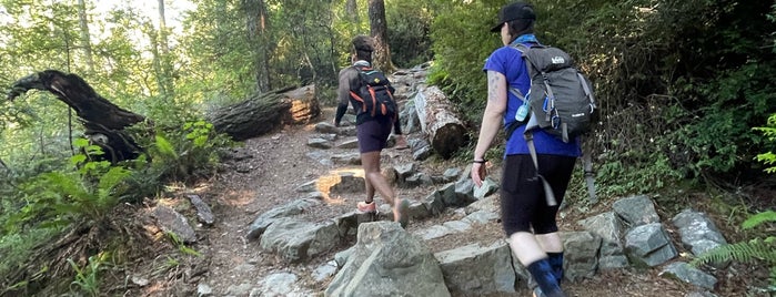
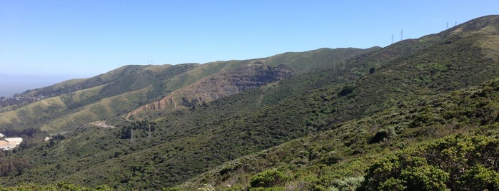
![]() 6.7 mile loop hike is moderate. Mix of sun and shade/ Trail surfaces: Dirt fire roads and trails/ 3 1/2 hours. From http://www.bahiker.com/
6.7 mile loop hike is moderate. Mix of sun and shade/ Trail surfaces: Dirt fire roads and trails/ 3 1/2 hours. From http://www.bahiker.com/
![]() 4.3 mile loop hike is easy. A mixture of shade and full sun / Dirt trails and fire roads / 2 1/2 hours. From http://www.bahiker.com/
4.3 mile loop hike is easy. A mixture of shade and full sun / Dirt trails and fire roads / 2 1/2 hours. From http://www.bahiker.com/
![]() 3.5 mile loop to the summit, with loads of native vegetation all along the trails. Mostly exposed/ Dirt trails / 2 hours.
3.5 mile loop to the summit, with loads of native vegetation all along the trails. Mostly exposed/ Dirt trails / 2 hours.
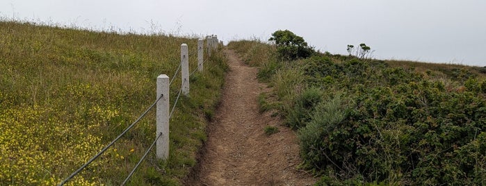
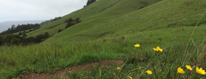
![]() 1.5 mile loop through coastal scrub on a nearly level ridge. Completely exposed / Dirt fire roads and trails / Under an hour. From http://www.bahiker.com/
1.5 mile loop through coastal scrub on a nearly level ridge. Completely exposed / Dirt fire roads and trails / Under an hour. From http://www.bahiker.com/
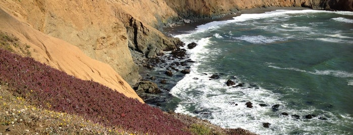
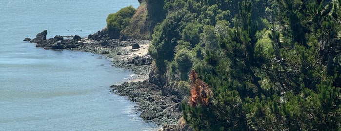
![]() 3 mile partial loop through a GGNRA parcel, overlooking the ocean in Pacifica. Mix of sun and shade/Dirt trails and fire roads/2 hours. From http://www.bahiker.com/
3 mile partial loop through a GGNRA parcel, overlooking the ocean in Pacifica. Mix of sun and shade/Dirt trails and fire roads/2 hours. From http://www.bahiker.com/
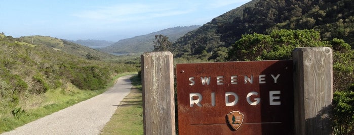
![]() 5.7 mile out and back hike climbs to a scenic ridge, with exceptional views. Completely exposed/ Paved fire road and dirt fire roads / 2 1/2 hours. From http://www.bahiker.com/
5.7 mile out and back hike climbs to a scenic ridge, with exceptional views. Completely exposed/ Paved fire road and dirt fire roads / 2 1/2 hours. From http://www.bahiker.com/
![]() 2.1 mile loop at a small park a short distance off Interstate 280. Mix of shade and sun / Dirt trails / 1 hour. From http://www.bahiker.com/
2.1 mile loop at a small park a short distance off Interstate 280. Mix of shade and sun / Dirt trails / 1 hour. From http://www.bahiker.com/